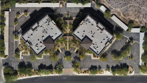
Orthomosaic maps offer a photorealistic representation of an area that can produce surveyor-grade measurements of topography, infrastructure, and buildings.
Each orthomosaic map is made up of dozens of orthoimages (also called orthophotos). An orthoimage is an extraordinarily detailed aerial photograph that is pinned to a geographic position to create continuity and uniformity when sequenced by mapping software. A dataset made up of numerous orthoimages is collected with detailed documentation on their geographic position and any external factors that could impact the collected data.