What We Offer
Coastline UAV offers a wide range of services with an emphasis on creating custom solutions for each client. Below are some broad service categories we operate within
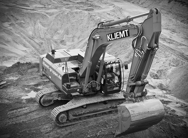
We use drones equipped with high-resolution cameras to provide comprehensive site surveys for construction projects. This helps with site planning, monitoring construction progress, and identifying potential issues before they become major problems.
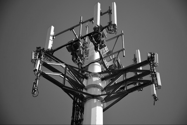
Our drones can safely inspect tall structures such as utility towers and stadiums, providing high-resolution imagery and data. This helps identify any potential issues that could impact safety or performance.
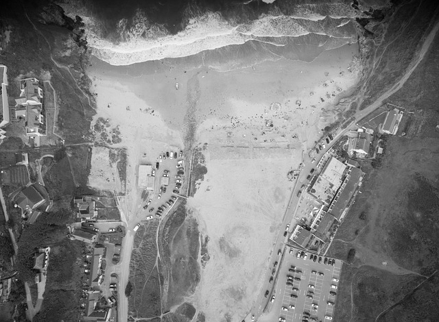
We use drones to create high-resolution orthomosaic maps of various sites. These maps can be used for site planning and visualization, as well as for demonstration purposes in various industries.
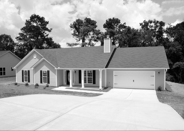
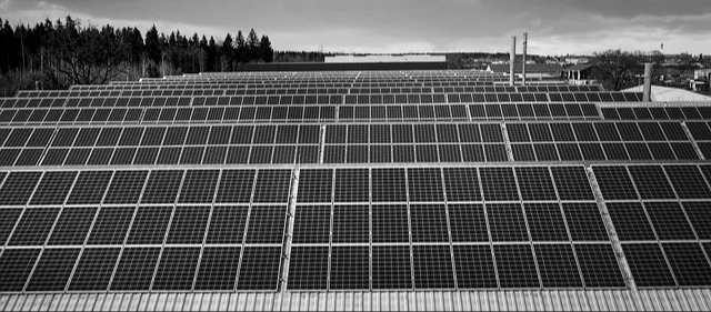
We provide aerial photography and videography for real estate listings, as well as roof inspections and other property assessments. We also offer drone inspections for insurance adjusters and residential solar installations.
Our drones are equipped with thermal imaging cameras that can detect heat signatures. This allows us to identify issues such as energy loss, roof leaks, and equipment malfunctions in various industries.

